As China expands its presence in orbit, the U.S. Space Force continues to express concern about Beijing’s advancing satellite capabilities. The latest cause for alarm is China’s deployment of imaging satellites in geostationary orbit.
China, to be sure, has operated optical imaging satellites in GEO for nearly a decade. Still, the capabilities of these earlier satellites are limited compared to China’s latest additions in 2023.
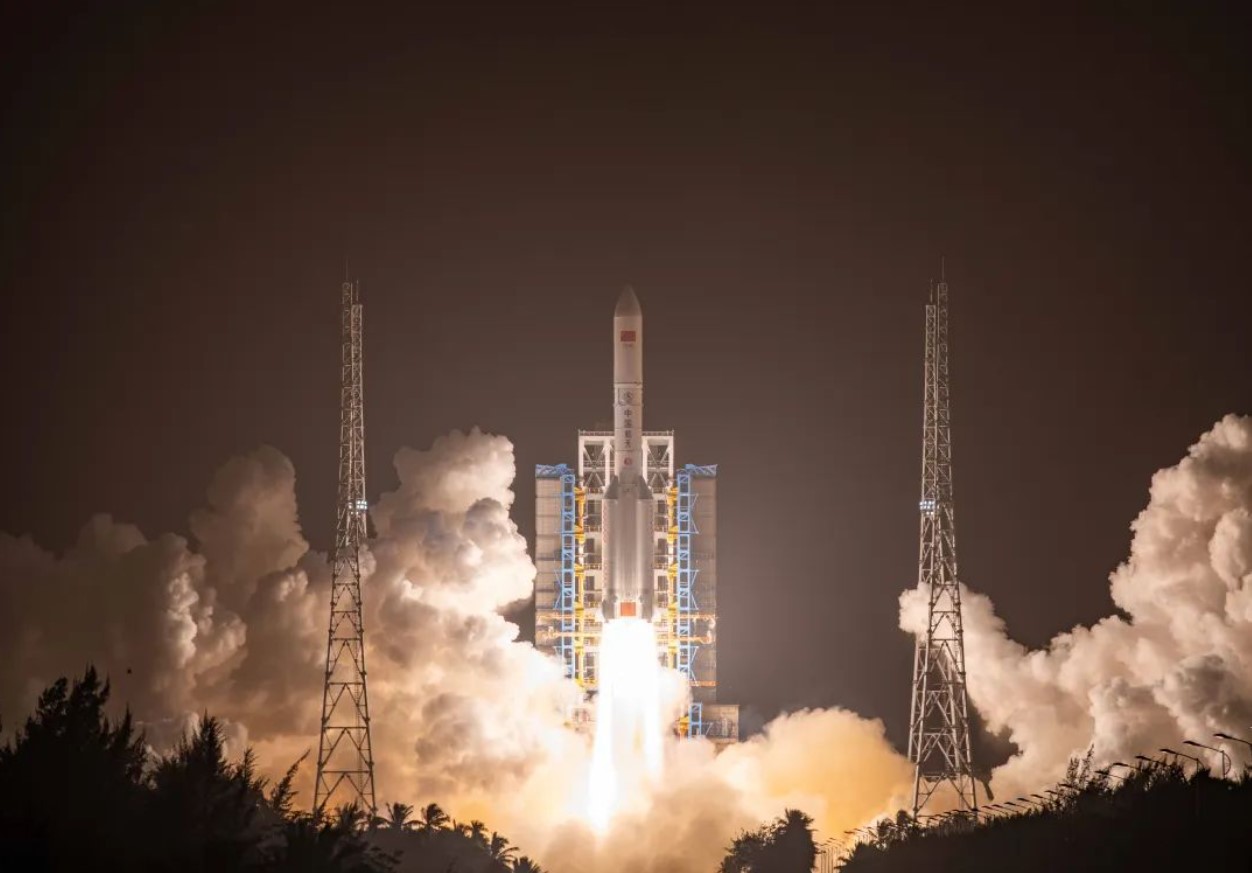
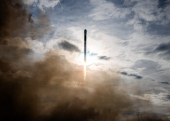
One that has caught the Space Force’s attention is an advanced optical imaging satellite launched in December, Yaogan-41. With an estimated resolution of 2.5 meters, it brings a significant improvement over previous GEO optical satellites capped at 15-meter resolution. This level of visual fidelity would allow China to spot vehicles, aircraft, and vessels across wide regions.
Another is a GEO-based synthetic aperture radar (SAR) imaging satellite, Ludi Tance-4, that can see through clouds and darkness. Paired with the optical resolution of Yaogan-41, China now potentially has persistent visual and radar surveillance over strategically important areas like the Indo-Pacific.
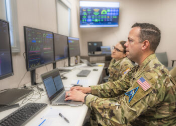
This has defense officials worried. Chief Master Sgt. Ronald Lerch, intelligence specialist at the Space Systems Command, said these new satellites take China’s space-based intelligence gathering to a new level.
Speaking Jan. 30 at an industry conference, Lerch said the U.S. military views Yaogan-41 and Ludi Tance-4 as a qualitative leap in capabilities for tracking and targeting.
Clayton Swope, a former U.S. intelligence official and now a senior fellow at the Center for Strategic and International Studies, estimates that Yaogan-41 should allow continuous surveillance of the Pacific and Indian Oceans, Taiwan, and mainland China.
“Paired with data from other Chinese surveillance satellites, Yaogan-41 could provide China an unprecedented ability to identify and track car-sized objects throughout the entire Indo-Pacific…
Read the full article here

