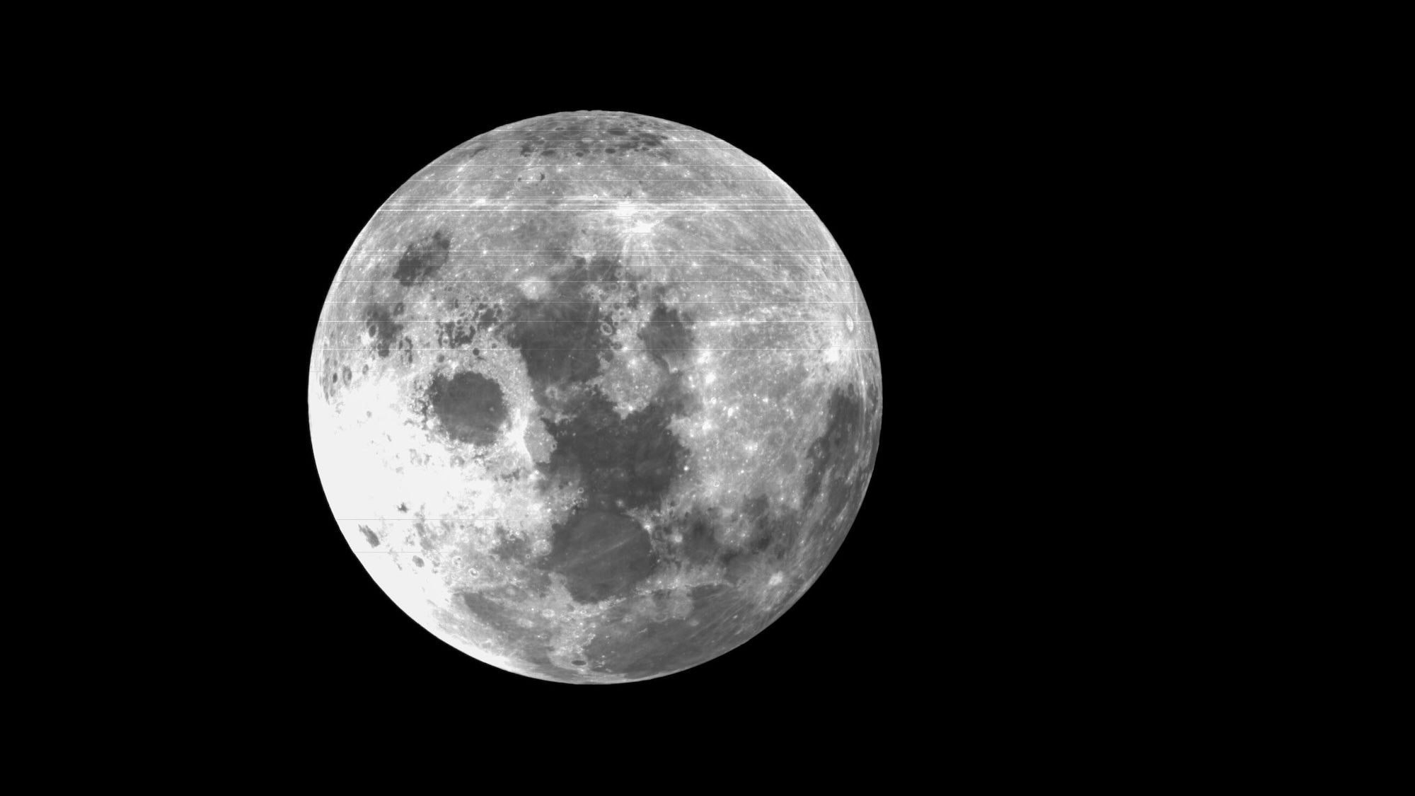
If we want to establish a permanent human presence on the moon, we need more detailed maps than the existing options, some of which date back to the Apollo missions of 1960’s and 1970’s. After more than ten years of collaboration between more than 100 researchers working at the Chinese Academy of Sciences (CAS), the newest editions of lunar topography are rolling out for astronomers and space agencies around the world.
As highlighted recently by Nature, the Geologic Atlas of the Lunar Globe includes 12,341 craters, 81 basins, and 17 different rock types found across the moon’s surface, doubling previous map resolutions to a scale of 1:2,500,000.
[Related: Why do all these countries want to go to the moon right now?]
Although higher accuracy maps have been available for areas near Apollo mission landing sites, the US Geological Survey’s original lunar maps generally managed a 1:5,000,000 scale. Project co-lead and CAS geochemist Jianzhong Liu explained to Nature that “our knowledge of the Moon has advanced greatly, and those maps could no longer meet the needs for future lunar research and exploration.”
To guide lunar mapping into the 21st-century, CAS relied heavily on China’s ongoing lunar exploration programs, including the Chang’e-1 mission. Beginning in 2007, Chang’e-1’s high-powered cameras surveyed the moon’s surface from orbit for two years alongside an interference imaging spectrometer to identify various types of rock types. Additional data compiled by the Chang’e-3 (2013) and Chang’e-4 (2019) lunar landers subsequently helped hone those mapping endeavors. International projects like NASA’s Gravity Recovery and Interior Laboratory (GRAIL) and Lunar Reconnaissance Orbiter, as well as India’s Chandrayaan-1 probe all provided even more valuable topographical information.
The pivotal topographical milestone wasn’t an entirely altruistic…
Read the full article here


