When a strong tornado roars through a city, it often leaves behind demolished buildings, broken tree limbs and trails of debris. But a similarly powerful storm touching down over barren, unvegetated land is much harder to spot in the rearview mirror.
Now, satellite imagery has revealed a 60-kilometer-long track of moist earth in Arkansas that was invisible to human eyes. The feature was presumably excavated by a tornado when it stripped away the uppermost layer of the soil, researchers report in the March 28 Geophysical Research Letters. This method of looking for “hidden” tornado tracks is particularly valuable for better understanding storms that strike in the winter, when there’s less vegetation, the researchers suggest. And recent research has shown that wintertime storms are likely to increase in intensity as the climate warms (SN: 12/16/21).
Over 1,000 tornadoes strike the United States each year, according to the National Weather Service. But not all are equally likely to be studied, says Darrel Kingfield, a meteorologist at the National Oceanic and Atmospheric Administration in Boulder, Colo., who was not involved in the research.
For starters, storms that pass over populated areas are more apt to be analyzed. “There’s historically been a pretty big population bias,” Kingfield says. Storms that occur over vegetated regions also tend to be well studied, simply because they leave obvious scars on the landscape. Ripped-up grasses or downed trees function like beacons to indicate the path of a storm, says Kingfield, who has studied forests damaged by tornadoes.
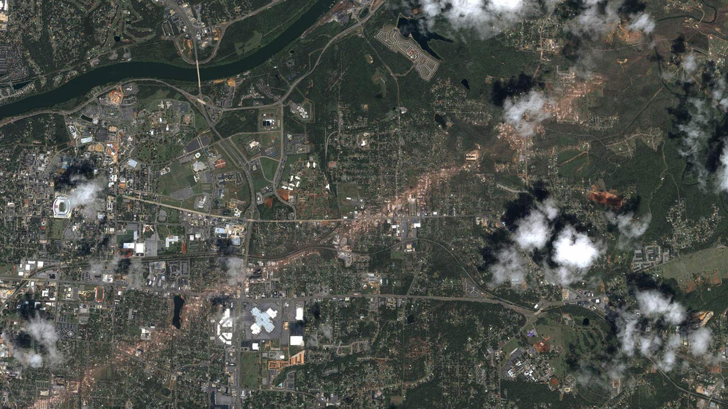
Spring and summer are peak storm seasons in the United States — more than 70 percent of tornadoes strike from March through September, according to NOAA. But on December 10, 2021, a cluster of storms started racing across the central and southern United States. Those tornadoes, which claimed more than 80 lives, swept across cities and also farmland, much of which…
Read the full article here


