New Map Shows the Highest Heat Risk Isn’t Always Where Temperatures Are Hottest
The CDC’s new Heat and Health Index looks at the vulnerability of 32,000 neighborhoods to extreme heat using demographic and health statistics
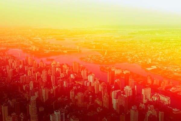
People in neighborhoods such as East Harlem, in upper Manhattan, are at more risk than those in the nearby Upper East Side during heat waves, a new CDC map shows.
Nisian Hughes/Getty Images
CLIMATEWIRE | The U.S. neighborhood facing the biggest health risks from extreme heat is not in Arizona, Texas or Florida.
It’s in Idaho.
That’s the conclusion of the Biden administration, which recently rated 32,000 communities for their heat vulnerability.
On supporting science journalism
If you’re enjoying this article, consider supporting our award-winning journalism by subscribing. By purchasing a subscription you are helping to ensure the future of impactful stories about the discoveries and ideas shaping our world today.
An interactive map created by the Centers for Disease Control and Prevention rates each ZIP code in the mainland U.S. to identify areas “most likely to experience negative health outcomes from heat.”
But CDC’s Heat and Health Index shows that heat risk is about much more than temperatures.
Heat vulnerability varies sharply within cities and is affected by neighborhood characteristics such as asthma rates, income levels, tree cover and smog, rather than heat itself.
A low-income ZIP code in East Harlem, a Manhattan neighborhood in New York City, is twice as vulnerable to heat-related health problems as an adjacent ZIP code on the Upper East Side, which is one of the richest neighborhoods in the country, the index shows. The two ZIP codes are separated by East 96th Street, where a major subway line runs above ground and demographics change dramatically.
The ZIP codes have identical weather. But on every other measure used by CDC, the East Harlem area is worse off than its Upper East Side neighbor. The…
Read the full article here


