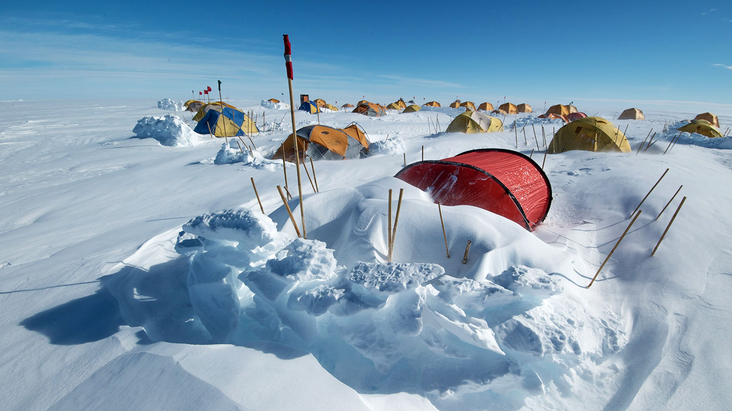
Antarctica is a land of hidden lakes. More than 600 have been mapped beneath the continent’s ice sheets. An estimated 140 are “active.” That means they’re constantly filling, then draining their water through rivers that flow beneath glaciers. But it’s been hard to learn how and why these lakes form — or how long they’ll last. New clues dug from the floor of one of them, Lake Mercer, now suggest some answers.
This subglacial lake sits roughly 300 kilometers (almost 190 miles) south of the Kamb ice cavern. Lake Mercer is a bit odd, at least in comparison to surface lakes. It sits on the side of a hill. Only the pressure of the vast ice atop it holds its water in place.
But this lake won’t always be there, predicts Ryan Venturelli. She’s a glacial geologist with the Colorado School of Mines in Golden. She’s part of a team that has been examining sediment pulled up from the lake’s floor.
In 2019, scientists drilled through 1,100 meters (seven-tenths of a mile) of ice to collect mud cores from its lakebed. Her group has compared those sediments to satellite data of the glacier atop the lake. Since about 2003, such satellite data have shown signs of floods coursing under the glacier.
From these data, Venturelli now estimates Lake Mercer is about 180 years old. But its years appear to be numbered. The glacier above it thickening. At some point, she says, the sheer weight of all that ice will squash the lake out of existence, sending its water elsewhere. “We predict that this will be in 20 to 70 years,” she says.
In the March 9 Geology, her team reports how it arrived at that date.
What lake-floor rocks have to say
Matthew Siegfried is another glaciologist at the Colorado School of Mines. He and Venturelli identified patterns in the cores of lake sediment. They found seven pairs of chunky and fine layers. Those layers resemble ones recently seen at the Kamb ice cavern.
Venturelli and Siegfried now believe…
Read the full article here


