The following essay is reprinted with permission from The Conversation, an online publication covering the latest research.
When a hurricane or tornado starts to form, your local weather forecasters can quickly pull up maps tracking its movement and showing where it’s headed. But have you ever wondered where they get all that information?
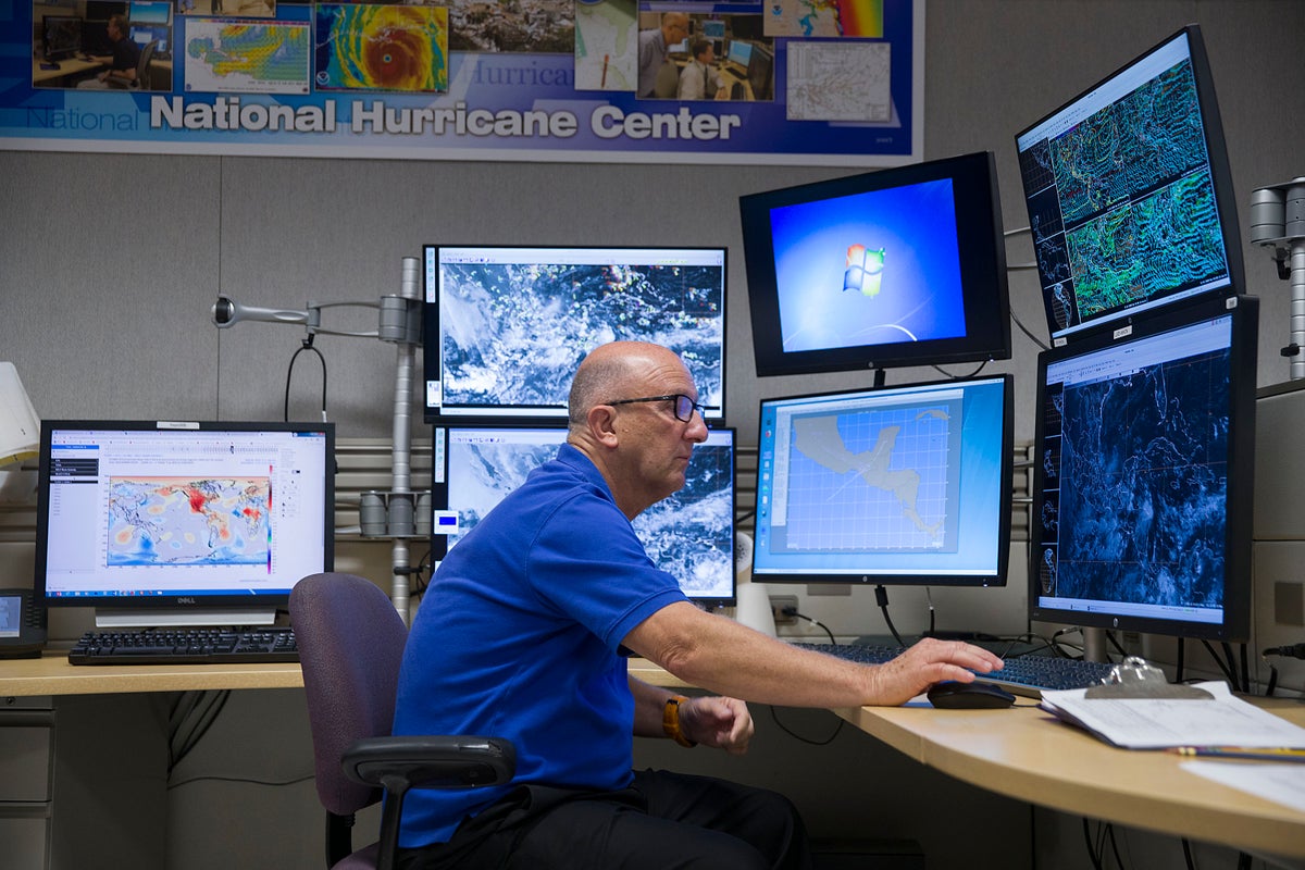
The forecasts can seem effortless, but behind the scenes, a vast network of satellites, airplanes, radar, computer models and weather analysts are providing access to the latest data – and warnings when necessary. This data comes from analysts at the National Oceanic and Atmospheric Administration, known as NOAA, and its National Weather Service.
On supporting science journalism
If you’re enjoying this article, consider supporting our award-winning journalism by subscribing. By purchasing a subscription you are helping to ensure the future of impactful stories about the discoveries and ideas shaping our world today.
Atmospheric scientists Christine Wiedinmyer and Kari Bowen, who is a former National Weather Service forecaster, explained NOAA’s central role in most U.S. weather forecasts.
When people see a weather report on TV, what went on at NOAA to make that forecast possible?
A lot of the weather information Americans rely on starts with real-time data collected by NOAA satellites, airplanes, weather balloons, radar and maritime buoys, as well as weather stations around the world.
All of that information goes into the agency’s computers, which process the data to begin defining what’s going on in different parts of the atmosphere.
NOAA forecasters use computer models that simulate physics and the behavior of the atmosphere, along with their own experience and local knowledge, to start to paint a picture of the weather – what’s coming in a few minutes or hours or days. They also use that data to project seasonal conditions out over weeks or months.
When severe weather is on the way, the agency issues the official alerts…
Read the full article here