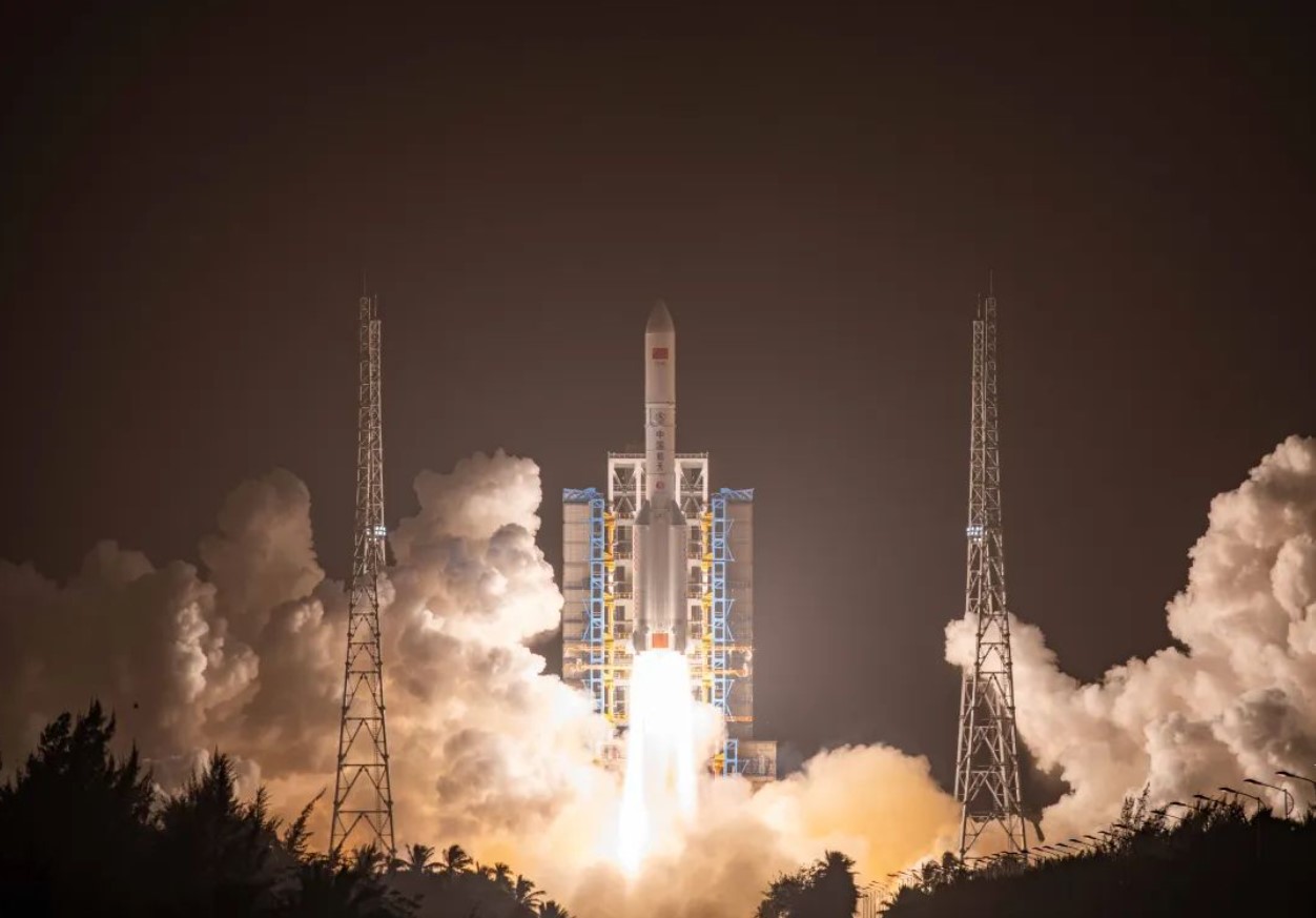
HELSINKI — China sent the classified Yaogan-41 optical satellite towards the geostationary belt Friday using the country’s largest launch vehicle.
The sixth Long March 5 rocket lifted off from the coastal Wenchang Satellite Launch Center at 8:41 a.m. Eastern (1341 UTC) Dec. 15. The China Aerospace Science and Technology Corp. (CASC) announced launch success around an hour later.
CASC revealed the payload to be the Yaogan-41 (“remote sensing-41”) satellite. A new, elongated 18.5-meter-long, 5.2-meter-diameter payload fairing shrouded the spacecraft. Previous fairings were 12.3 meters long.
CASC revealed that its China Academy of Space Technology (CAST) subsidiary built Yaogan-41 but provided no images nor further details. State news agency Xinhua described the satellite as an optical remote sensing satellite.
“The satellite will be used in land survey, crop yield estimation, environmental management, meteorological warning and forecasting, and comprehensive disaster prevention and reduction,” Xinhua stated.
Outside observers however assess Yaogan series satellites to be designated for military purposes. The classified nature of the mission suggests Yaogan-41 is for at least partial military use.
U.S. Space Force space domain awareness cataloged the spacecraft in a 195 by 35,815-kilometer orbit inclined by 19.51 degrees.
The successful launch adds to growing Chinese on-orbit remote sensing capabilities. Should Yaogan-41 take up a position in geostationary orbit, at about 35,786 kilometers above the equator, it will remain in a fixed position relative to the Earth’s surface. This will allow it to conduct continuous observation of the same geographic area.
This vantage point would allow it to constantly view about one-third of the Earth’s surface. Geostationary optical data would be useful for security, meteorology, climate studies and…
Read the full article here


