BREMEN, Germany — Companies engaged in hyperspectral satellite imagery are beginning to overcome challenges to unlocking its potential, according to industry experts.
“In recent years technological developments have matured the technology, so now it has become a competitive technology and I think that is what is new,” Kirsten Drost, business development manager at S[&]T, said during a panel at Space Tech Expo Europe in Bremen, Nov. 15.
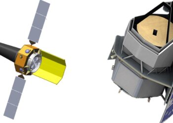
Optical imagery, which deals with light visible to the human eye and near-infrared. Covering limited bands of light, it can reveal shapes on Earth with high spatial resolution. Hyperspectral imagery satellites meanwhile scan tens or hundreds of bands of light allowing for a more nuanced understanding of phenomena on Earth. This includes determining material composition and subtle changes in objects, like the health of crops or quality of water, which might not be visible otherwise.
But there are many challenges, including managing bandwidth tradeoff versus spatial resolution, the sheer volume of data, its complexity, and the laws of physics, and issues of commercialization.
“The technical one is the amount of data,” said Roman Bohovic, chief technology officer at World from Space s.r.o. “Now we are mostly processing data from tens or several tens of bans, but now we need to multiply it by one or two orders of magnitude.”
This high spectral resolution produces vast amounts of data. And getting this data down to Earth, its quality, processing and scaling processing all present challenges.
The industry is looking towards advanced solutions like cloud computing, onboard data processing, and AI to manage this data deluge.
“Onboard data processing is one of the key technologies that might help us to cope with [the vast amounts of data]” Marco Esposito, managing director at cosine Remote Sensing BV, said. This technology is still developing.
AI and machine learning is another way to…
Read the full article here