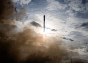
SAN FRANCISCO – Satellites set to launch in 2024 will dramatically increase the international community’s ability to detect atmospheric methane. Still, far more data will be needed to reach international goals to curb emissions.
“We need to understand where these emissions are around the globe,” said Steven Hamburg, Environmental Defense Fund chief scientist.
Plus, it’s necessary to quantify methane emissions and monitor changes over time, panelists said during a Jan. 21 SpaceNews webinar on methane monitoring.
Weather Systems
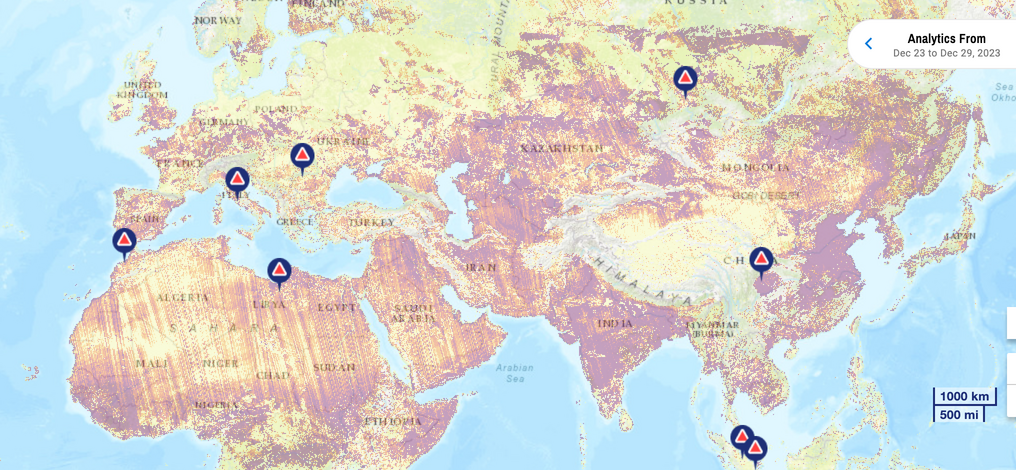
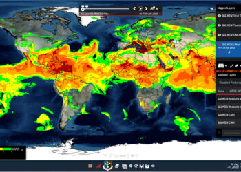
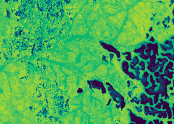
Government sensors like Tropomi, an instrument on the European Space Agency-European Commission Copernicus Sentinel-5P satellite, and Japan’s Greenhouse Gases Observing Satellites provide extensive data. Commercial airborne and space-based sensors also help.
Canada’s GHGSat, for example, monitors industrial greenhouse gas facilities with a constellation of 12 satellites. GHGSat shares data with NASA, ESA, the United Nations and the oil and gas industry.
In contrast to the current piecemeal approach, what’s needed is something more like the national weather systems around the globe, said Riley Duren, University of Arizona research scientist and CEO of Carbon Mapper, a nonprofit focused on measuring greenhouse gas emissions.
Nationals weather systems combine data from ground, airborne and space-based sensors to provide “continuous operational insight of what’s happening with weather,” Duren said.
No Clear Picture
Greenhouse gas monitoring has not received the same resources.
“We have benefited from over a decade of dramatic advances in research and technology that have demonstrated that these remote-sensing technologies provide actual data, but they’re not yet deployed at scale,” Duren said.
As a result, no one has a clear picture of global methane emissions.
“We’ve got a pair of…
Read the full article here
